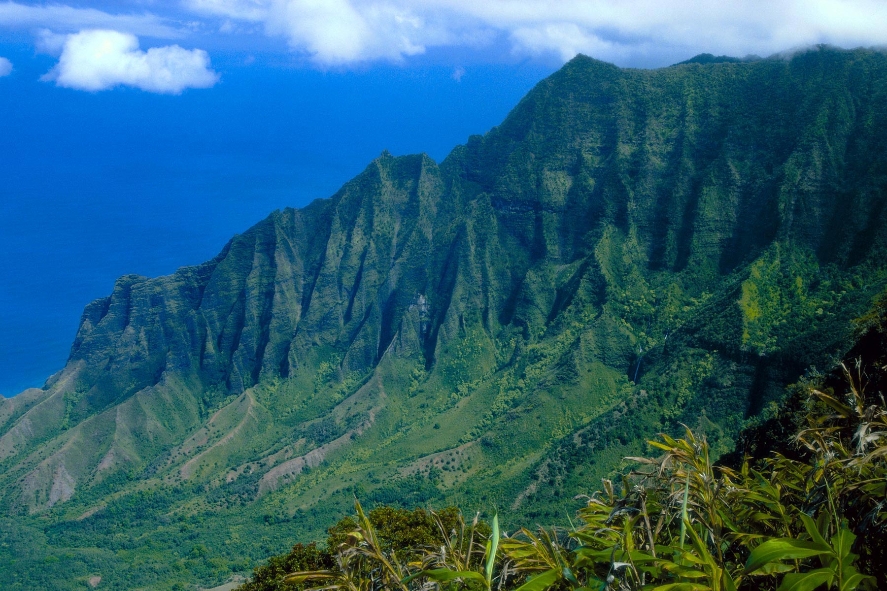
Natural Resources Data Systems (NRDS) is an environmental software company based in Maui, working with public agencies and private landowners to improve the management of land and natural resources through data-driven tools.
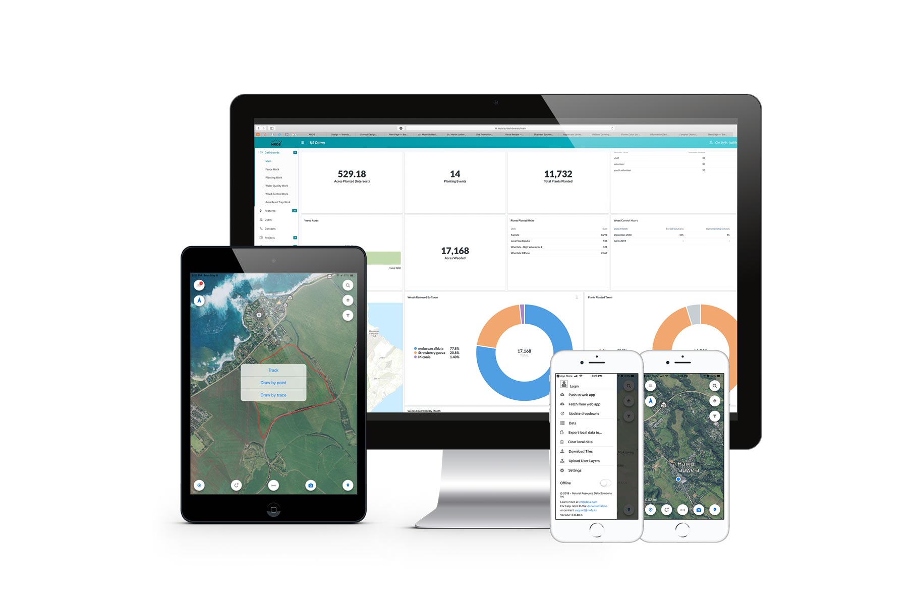
NRDS develops a secure, multi-platform, location-based software system designed to operate seamlessly between office and field environments. Built to function offline in remote and rugged locations, the platform integrates project management, GIS mapping, data collection, analysis and reporting, enabling effective collaboration across teams — from high-level decision-makers to field operators.
At the core of the system is a robust geospatial data management architecture, with GIS fully integrated. The platform allows teams to track field activity, manage data quality, measure progress against objectives, and generate detailed reports combining maps, photographs, documents and narrative content. Dashboards, metrics and spatial filters can be customized by property, boundary, landowner or agricultural field, providing precise and actionable insights.
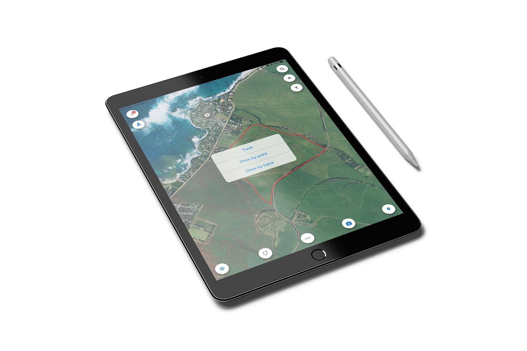
The ʻĀina app, available on iOS and Android, serves as NRDS’s mobile data collection tool. It enables the capture of geotagged photos, waypoints, lines and polygons, both online and offline, using GPS tracking or direct map drawing. Field data can be synchronized once connectivity is restored, making the app a reliable and time-saving solution for agriculture, conservation, land planning and real estate applications.
Within this context, I contributed through design consulting, visual identity development, typography and print, and web design, helping translate a highly technical system into a clear, credible and accessible communication framework. The objective was to align the product’s visual language and digital presence with the sophistication of its technology, while remaining firmly grounded in real-world field use and environmental stewardship.